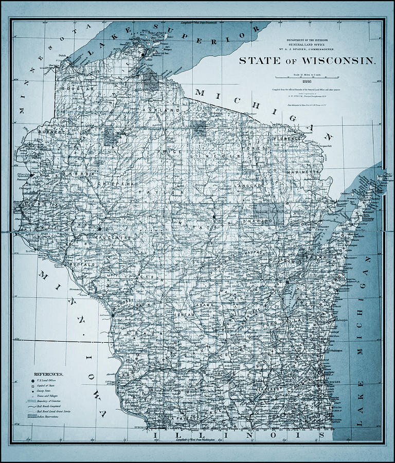
State of Wisconsin Vintage Map 1886 Blue is a photograph by Carol Japp which was uploaded on June 1st, 2022.
State of Wisconsin Vintage Map 1886 Blue
A vintage map from the year 1886, of the State of Wisconsin. This historical map from the public domain was compiled from the official Records of the... more

by Carol Japp
Title
State of Wisconsin Vintage Map 1886 Blue
Artist
Carol Japp
Medium
Photograph - Drawing Engraving
Description
A vintage map from the year 1886, of the State of Wisconsin. This historical map from the public domain was compiled from the official Records of the General Land Office and other sources under supervision of G.P. Strum, principal draughtsman and published by Julius Bien & Co. for the Department of the Interior General Land Office, Wm A. J. Sparks, Commissioner. This reproduction image has been restored and converted to cool shades of blue.
Uploaded
June 1st, 2022
More from Carol Japp
Comments
There are no comments for State of Wisconsin Vintage Map 1886 Blue . Click here to post the first comment.


